21:56
Landsat7 Scan Line Correction in Google Earth Engine
14 views • 1 hour ago
15:53
Problem Solving Class on GEE: Visualization window not showing on Google Earth Engine
71 views • 3 days ago
14:21
How to Convert CSV with lat/lon coordinates to shapefile using Google Earth Engine
150 views • 4 days ago
14:42
Extraction of Surface Water using NDWI
151 views • 4 days ago
17:39
Soil moisture retrieval from Sentinel-1 using Google Earth Engine || Soil Moisture time series
322 views • 4 days ago
41:51
How to monitor Soil Electrical Conductivity using ground truth data & make the Kriging Interpolation
51 views • 5 days ago
1:06:39
How to download geographic data using geodata R package
302 views • 5 days ago
51:27
Remote sensing monitoring of Total Suspended Solids concentration using Google Earth Engine || TSS
337 views • 6 days ago
15:21
Rainfall estimation Using Satellite Data in Google Earth Engine || Satellite imagery for rainfall
295 views • 6 days ago
16:36
Spatial estimation of soil erosion using RUSLE model in Google Earth Engine
853 views • 7 days ago
13:48
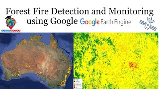
Forest Fire Detection and Monitoring using Remote Sensing techniques in Google Earth Engine
325 views • 8 days ago
3:58
How Export an attribute table from QGIS to Excel
86 views • 8 days ago
39:23
How to Monitor EVI using Landsat TOA imagery using Google Earth Engine || Enhanced Vegetation Index
108 views • 9 days ago
7:34
Google Earth Engine Courses SCAM Exposed || Scam Awareness Course for Online training on GEE
154 views • 9 days ago
1:33:22
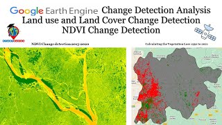
Google Earth Engine: Change Detection Analysis: Land use and Land Cover Change Detection NDVI
436 views • 9 days ago
9:18
water quality monitoring assessment using Google Earth Engine || How to check the accuracy of WQ
251 views • 10 days ago
15:24
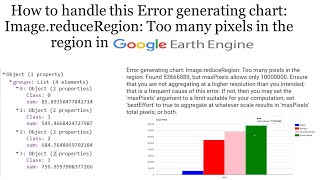
How to handle this Error generating chart: Image.reduceRegion: Too many pixels in the region in GEE
104 views • 10 days ago
1:25:12
Water Quality Monitoring: Estimation of chlorophyll-a concentration in turbid productive waters
480 views • 13 days ago
30:46
Segmenting Satellite Imagery with the Segment Anything Model (SAM) || Image Segmentation using AI
386 views • 2 weeks ago
17:01
After downloading the TIFF images from Google Earth Engine, How to make Map layout using ArcGIS ?
314 views • 2 weeks ago
17:04
How to Calculate Volume of Reservoir/Lake/any waterbody using GEE and ArcGIS
469 views • 2 weeks ago
18:06
How to download NDWI and DEM data using Google Earth Engine
270 views • 2 weeks ago
3:13
Student review about our live training program on #googleearthengine from Ukraine
59 views • 2 weeks ago
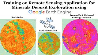
49:26
Remote Sensing Application for Minerals Deposit Exploration using Google Earth Engine
330 views • 2 weeks ago
3:09
Student review about our live training program on #googleearthengine from Cameroon
47 views • 2 weeks ago
28:35
Understanding Pandas DataFrames || Pandas for beginners || Data Analysis using pandas
138 views • 2 weeks ago
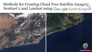
35:54
Methods for Creating Cloud Free Satellite Imagery: Sentinel 2 and Landsat using Google Earth Engine
275 views • 2 weeks ago
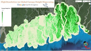
5:16
High Resolution 1m Global Canopy Height Maps using Google Earth Engine || Canopy Height Map
642 views • 3 weeks ago
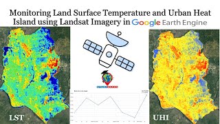
1:05:01
Monitoring Land Surface Temperature & Urban Heat Island using Landsat Imagery in Google Earth Engine
438 views • 3 weeks ago
49:46
Monitoring the Storage Volume of Water Reservoir Using Google Earth Engine:Water Resource Management
480 views • 3 weeks ago
Load More
 17:39
17:39